
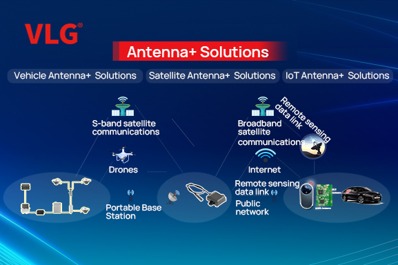
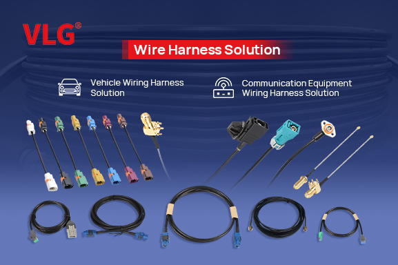
- Vehicle Antenna SolutionSatellite Antenna SolutionIOT Antenna SolutionWire Harness SolutionAntenna + Solution(NEW)
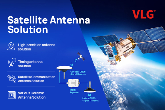
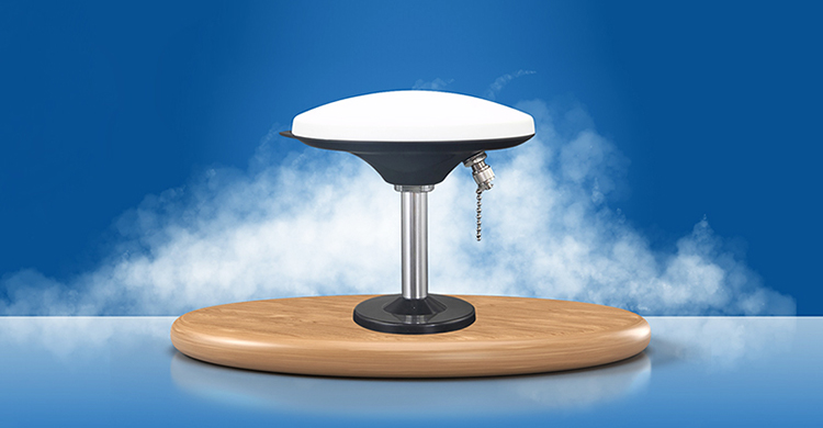
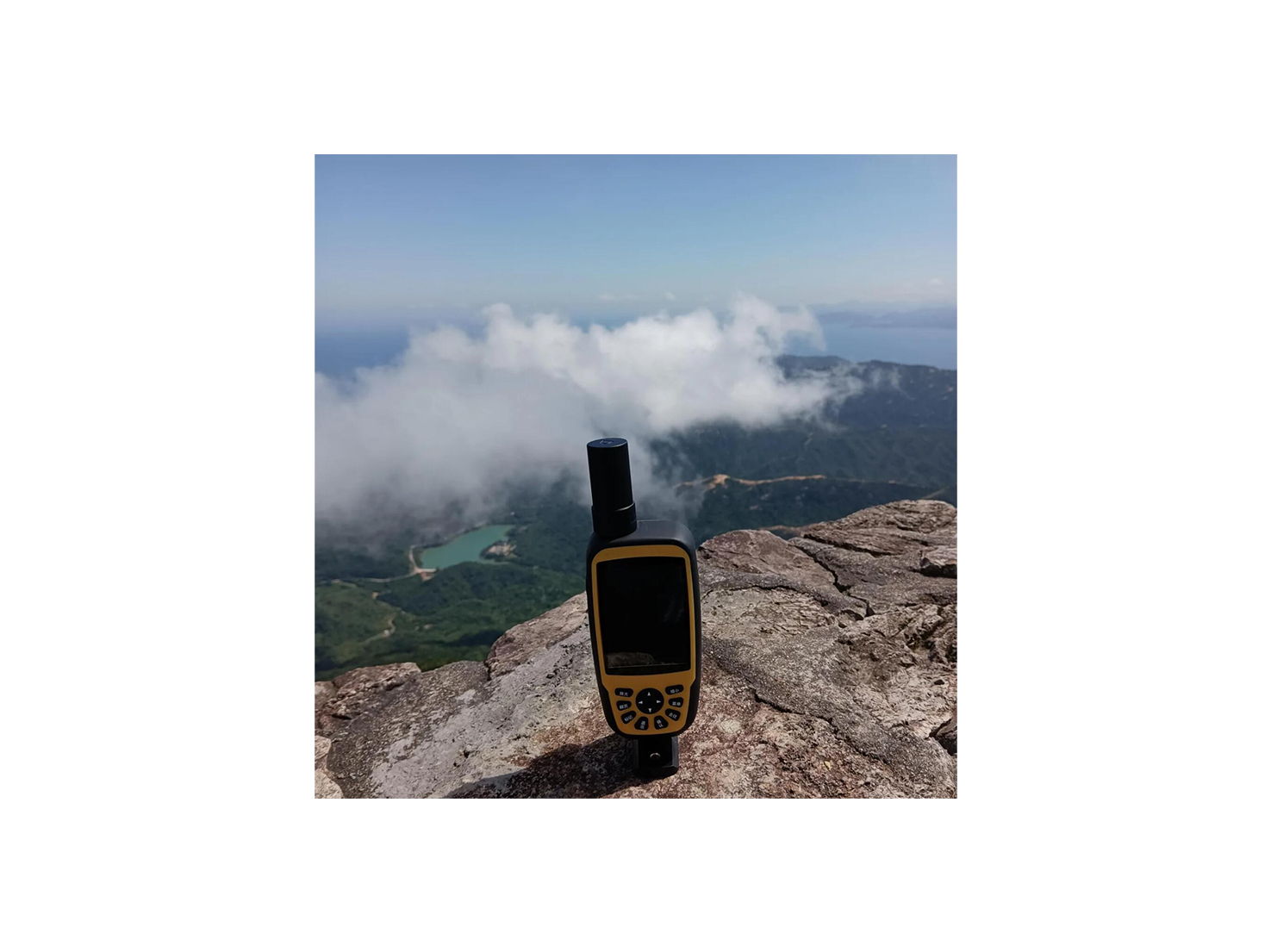
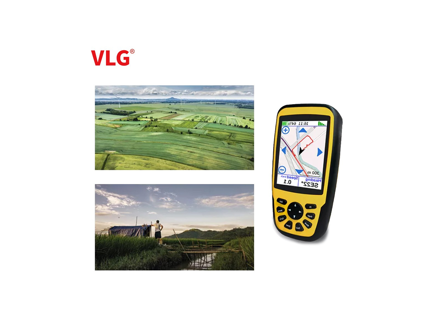
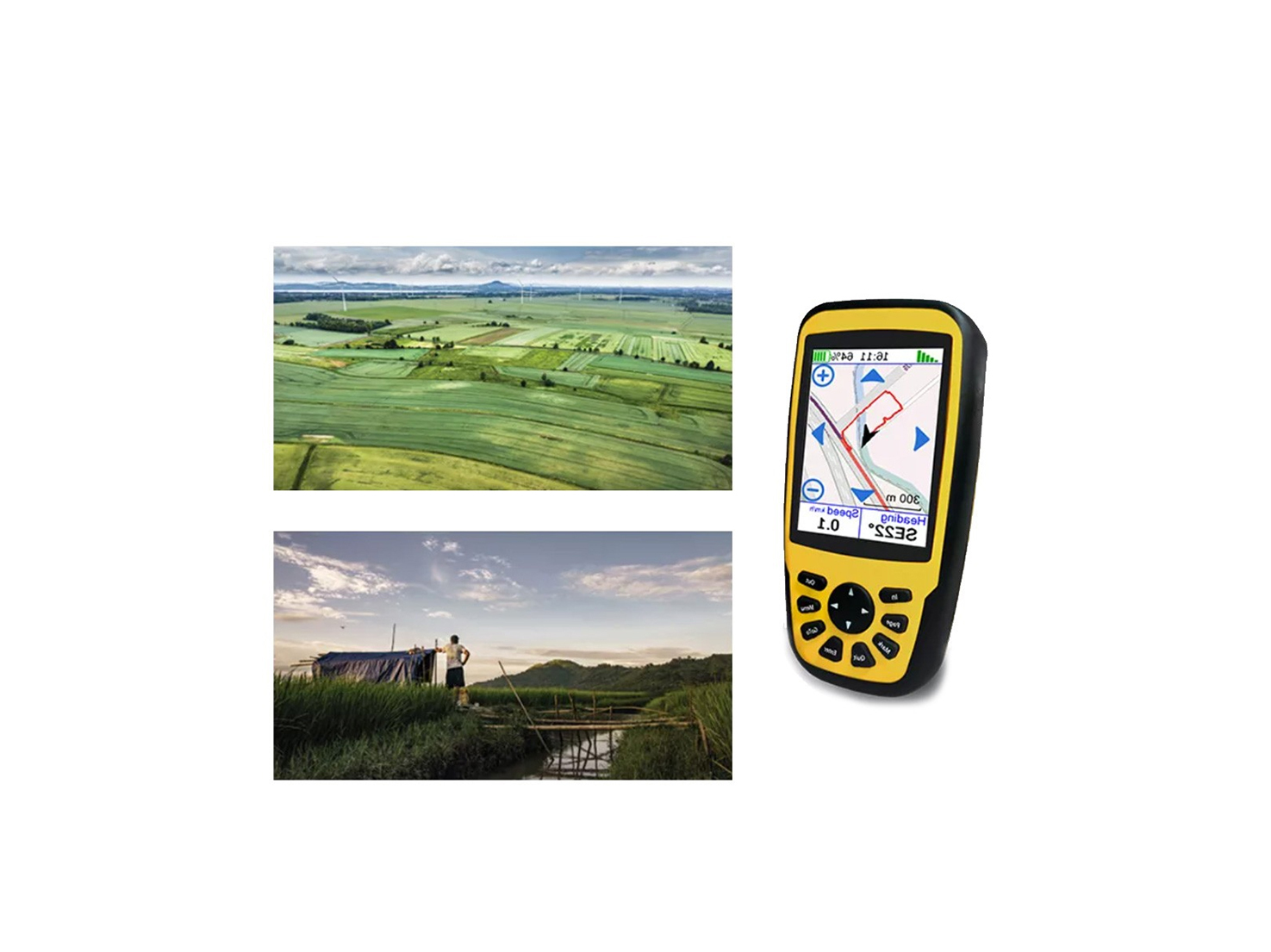
- High precision antenna solution
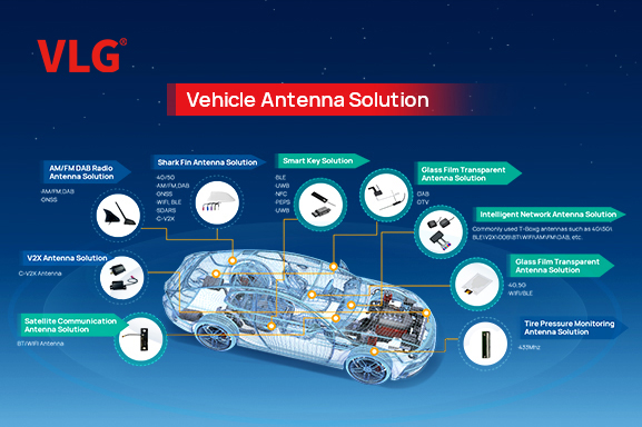
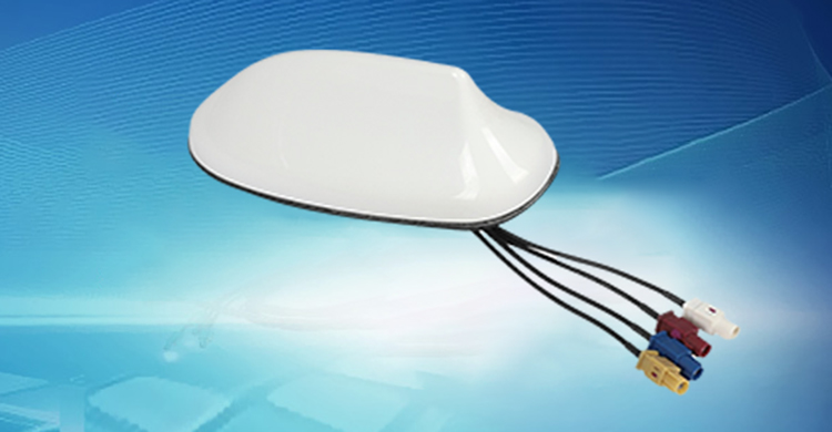
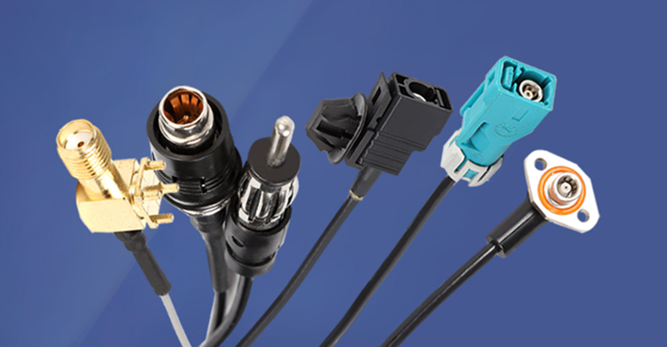
- Vehicle communication antenna solution
- Ceramic antenna solution
- Timing antenna solution
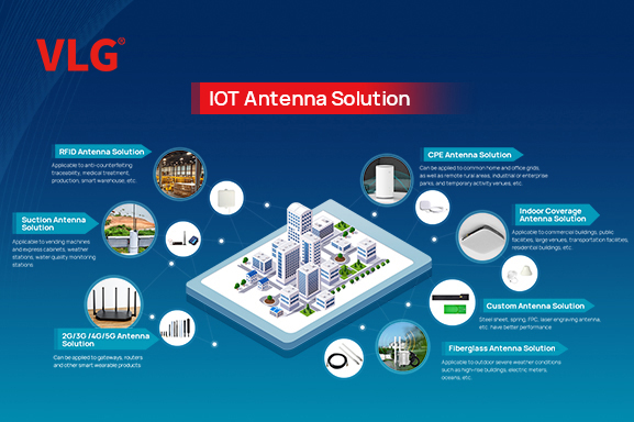
- Fiberglass antenna solution
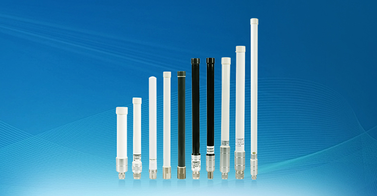
- External antenna solution
- Indoor coverage antenna solution
- RFID antenna solution
- CPE antenna solution
- 2G/3G/4G/5G/Wi-Fi6 built-in antenna solution
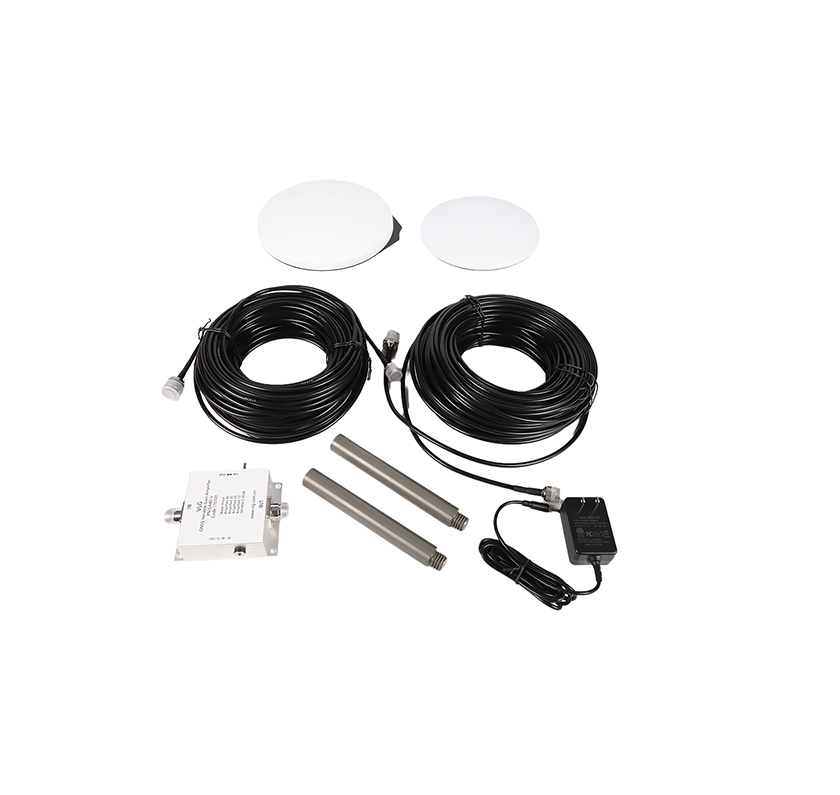
- VLG frequency shift 5G indoor coverage solution
- RFID antenna+ solution
- Bluetooth digital key
- NFC+BLE reader
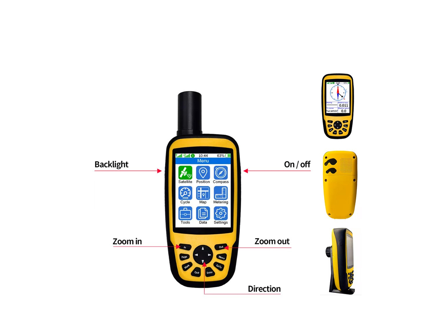
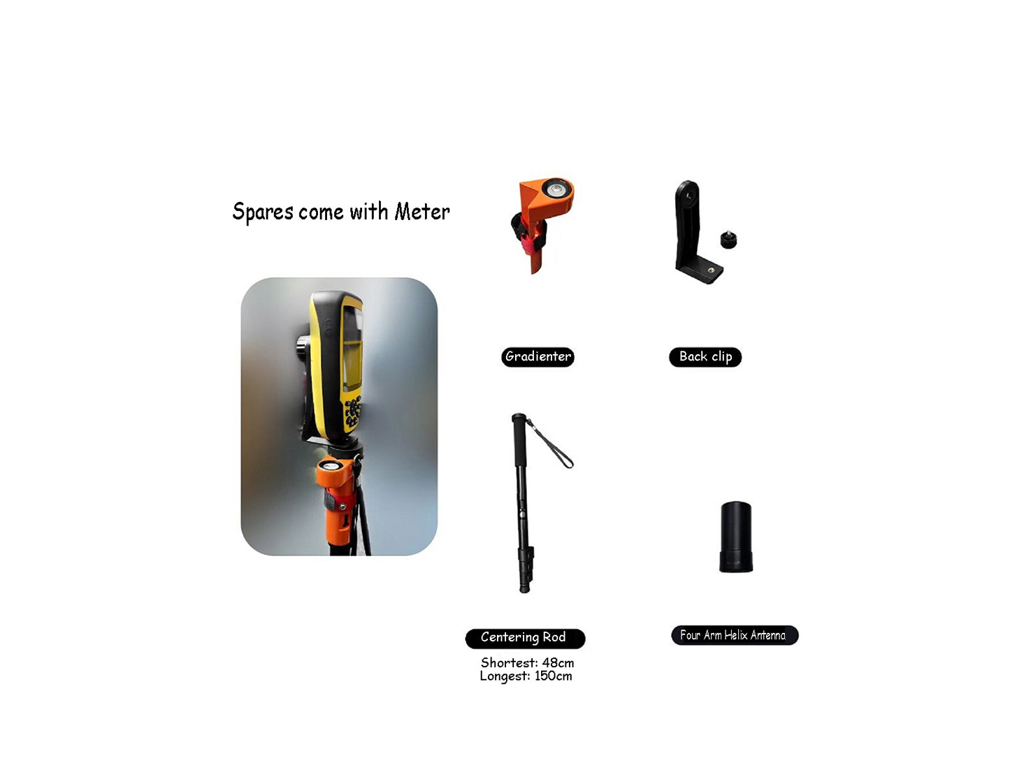
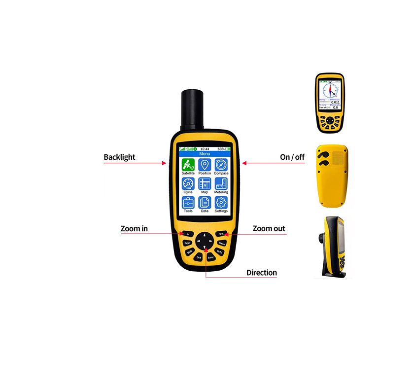
- Smart bus GPS Beidou signal indoor positioning and timing solution
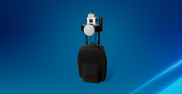
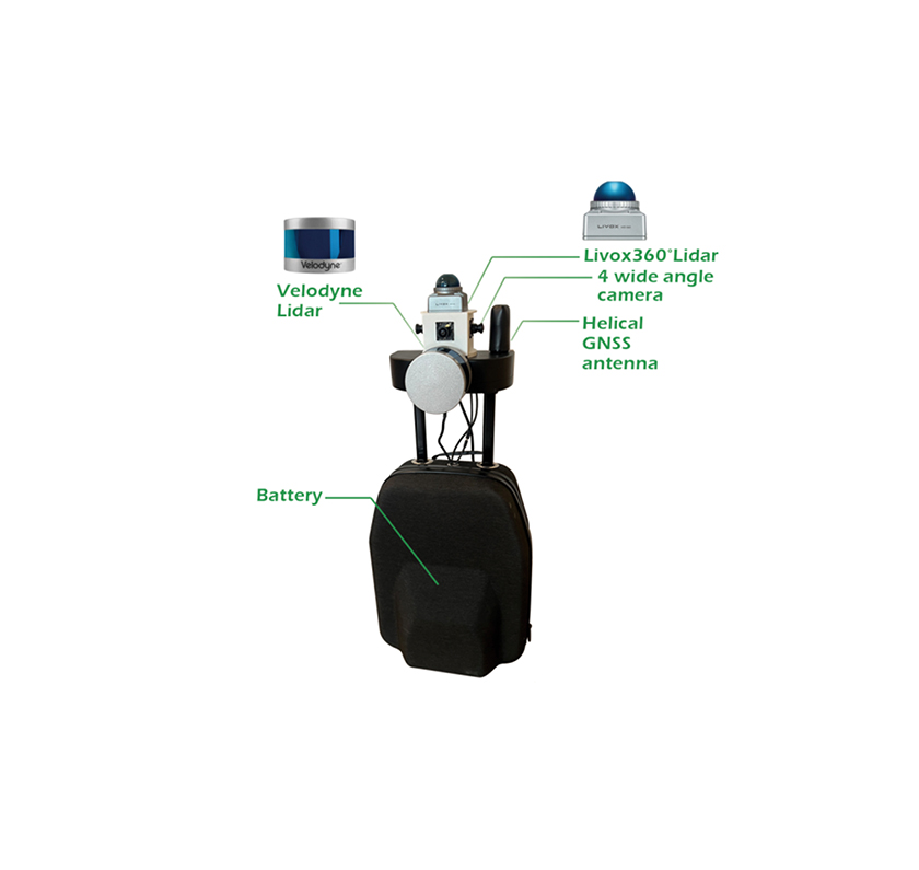
- Portable 3D mapping and environment reconstruction equipment (mapping backpack)
- G-mouse tower two-wheel high-precision shared travel solution


 Home >


 +86 186 8871 1070
 Detail
 Detail
 Detail
 Detail
 Detail
 Detail
 +86 186 8871 1070


